
Gallery
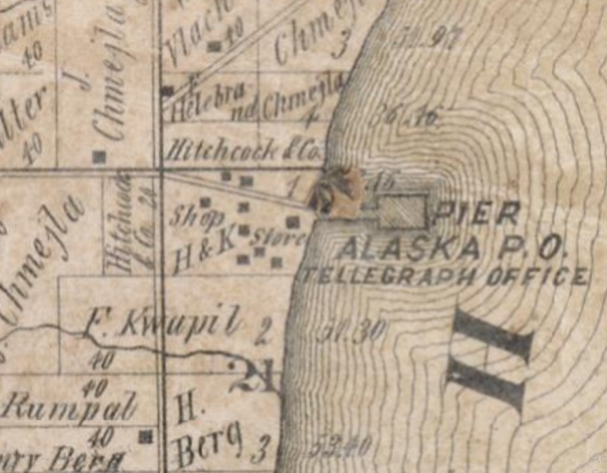
Alaska Pier 1876
Alaska Pier Detail
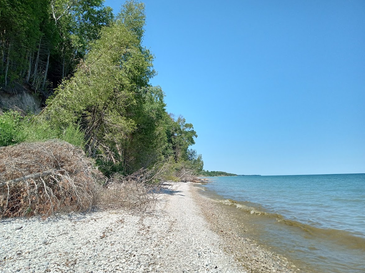
Shoreline of Alaska Pier Looking North from Mouth of Creek
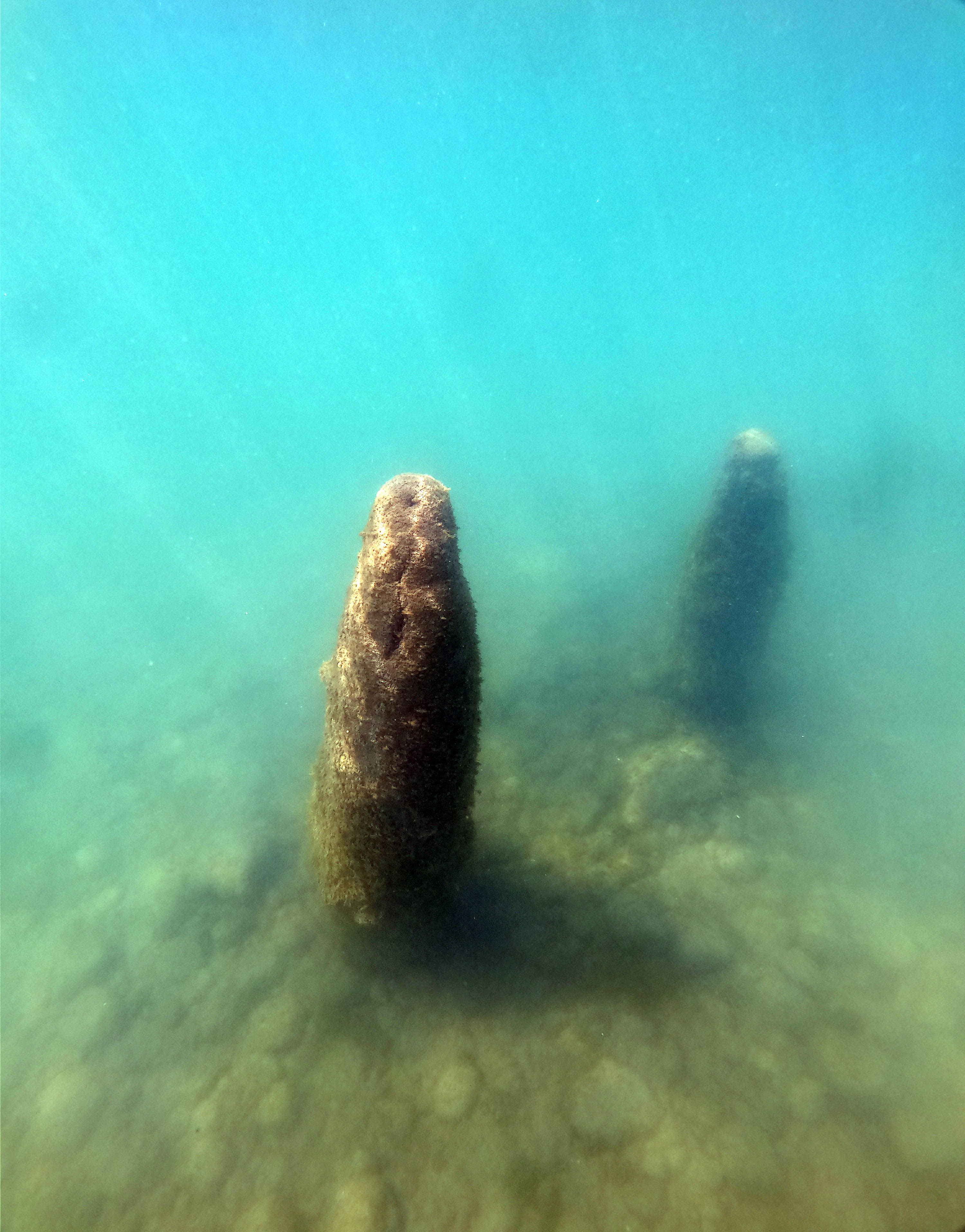
Alaska Pier Pilings Underwater
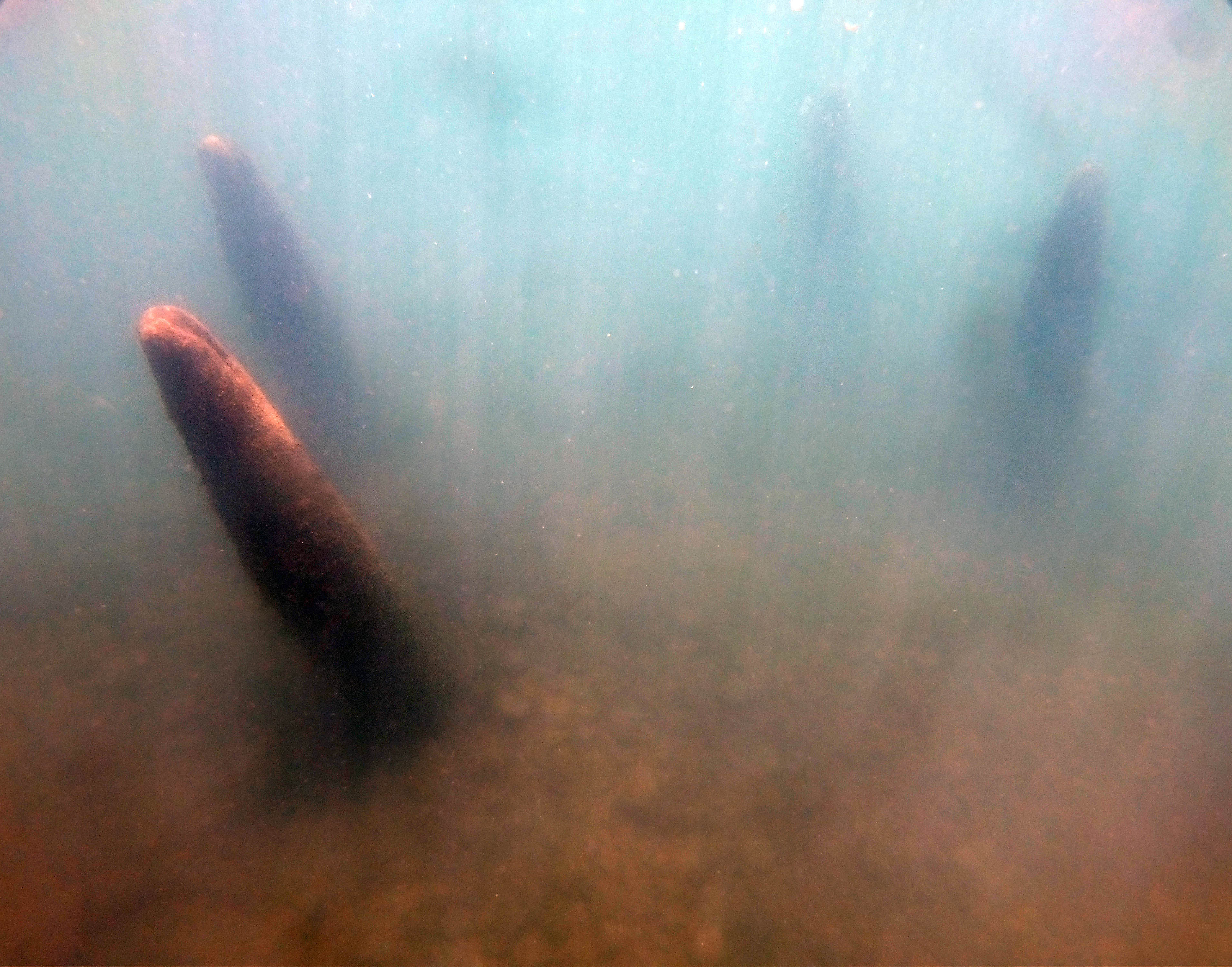
Alaska Pier Pilings Underwater
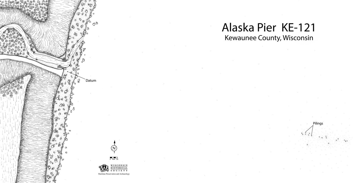
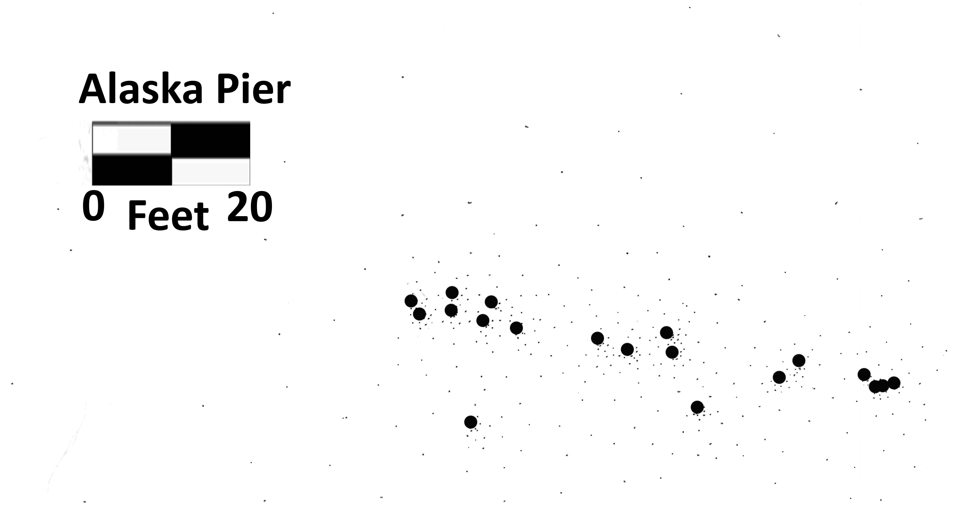
Alaska Pier Site Plan